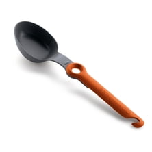
GSI Outdoors Pivot Spoon - Spoons
GSI Outdoors

Material: MacroLite, Duratex-Lite Access: side, top Pockets: 1 under-lid security, 1 bottom compartment Ski Carry: yes vertical Support/Suspension: Alpine back system, aluminum X-frame Waist-Belt: yes, Variflex Hydration Compatible: yes Reservoir Included: no Ice Axe Loops: 1 Claimed Weight: 4 lb 1 oz Dimensions: 28 x 13 x 8.5 in Volume: 2440 + 549 cu in Recommended Use: mountaineering, climbing, skiing Manufacturer Warranty: lifetime

Adventure Lover and thriller seeker with previous experience for Mountaineering in High Himalayan Region are welcome..
Read more
At the dawn of the 21th century the stocks of America’s most Innovative companies experienced a dramatic decline. The dot.co...
|
Connect via: or
|
|
MOUNTAIN PLANET CONNECTS ADVENTURE GUIDES WITH OUTDOOR ENTHUSIASTS
Help us to make the mountains safer and more accessible to people by contributing secure information about routes, conditions, equipment and service providers
WHAT IS MOUNTAIN PLANET?
WHY SHOULD I REGISTER/SIGN UP?
|
We use cookies to enhance your visit to our site.