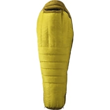
Stormy Kromer Mercantile Harris Tweed Cabby Hat
Stormy Kromer Mercantile

Material: cotton poplin Fit: slim Pockets: 1 chest Recommended Use: streetwear Manufacturer Warranty: 1 year

On May 19, 2012, climbers crowding one landmark near the summit faced a two-hour wait. In the course of just half a day, 234 people managed to reach the peak—but four people died, raising major concerns over the climbing process.
Read more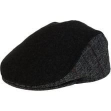
Stormy Kromer Mercantile

Mountains care very little whether mountain guide certified or not. Do clients and mountain guides themselves need to care ab...
|
Connect via: or
|
|
MOUNTAIN PLANET CONNECTS ADVENTURE GUIDES WITH OUTDOOR ENTHUSIASTS
Help us to make the mountains safer and more accessible to people by contributing secure information about routes, conditions, equipment and service providers
WHAT IS MOUNTAIN PLANET?
WHY SHOULD I REGISTER/SIGN UP?
|
We use cookies to enhance your visit to our site.